
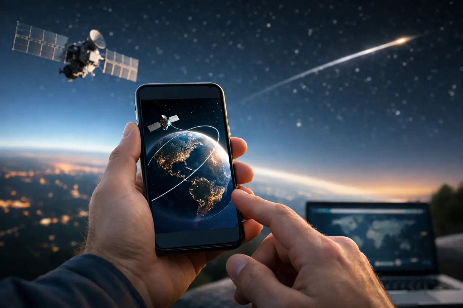
The moment a bright point clears the western horizon, you have only seconds to know whether it is the International Space Station, a Starlink satellite, or an aircraft. A good satellite tracker app removes the guesswork. It turns your location, the current clock, and live orbital data into a clear answer: what is overhead, where to look, and whether the pass is likely to be visible.
For US skywatchers, the useful part is not a globe filled with dots. It is a local, time-specific prediction that tells you a satellite’s maximum altitude, direction of travel, and brightness conditions before you step outside. The figures below show why different objects demand different expectations.
| Object | Typical altitude (km) | Approx. speed (km/h) | Orbit period (minutes) | What to expect |
|---|---|---|---|---|
| International Space Station | ~370-420 km | ~27,600 km/h | ~90-93 min | Often the brightest, fastest easy-to-see pass |
| Starlink operational satellite | ~550 km | ~27,000 km/h | ~96 min | Usually individual points; newly deployed groups can cluster |
| Hubble Space Telescope | ~535 km | ~27,000 km/h | ~95 min | Possible target under dark, favorable conditions |
| Geostationary communications satellite | 35,786 km | ~11,000 km/h orbital speed | 1,436 min | Appears fixed over the equator and is rarely a naked-eye target |
What a satellite tracker app is actually calculating
A tracker begins with orbital elements: a compact set of numbers describing a satellite’s path at a particular time. For many public targets, these are distributed as two-line element sets, often called TLEs. The app combines that orbit with your latitude, longitude, elevation, and time zone to calculate the satellite’s position above your horizon.
That calculation produces the details that matter outside: rise time, maximum elevation, set time, compass direction, range, and whether the spacecraft remains sunlit. A satellite can be 400 km above Earth and still be below your local horizon. It becomes visible only when its line of sight rises above that horizon and conditions cooperate.
The Sun is the key. Most satellites do not carry lights bright enough for naked-eye viewing. You see reflected sunlight. The best passes commonly happen within roughly two hours after sunset or before sunrise, when you are in darkness but the satellite is still high enough to catch sunlight. A pass at 2:00 AM may be geometrically overhead yet completely invisible if the object has entered Earth’s shadow.
The three numbers that decide whether a pass is worth watching
Maximum elevation
Elevation measures height above the horizon in degrees. Zero degrees is at the horizon, 45 degrees is halfway to zenith, and 90 degrees is directly overhead. Treat a predicted pass above 40 degrees as a strong opportunity if the sky is clear. At 10 degrees, trees, houses, haze, and city glow can erase the view.
A tracker should show the maximum elevation rather than simply saying a satellite will be visible. A 78-degree ISS pass gives you a wide, commanding arc across the sky. A 12-degree pass may last only a minute or two near the horizon and can disappear behind a roofline.
Magnitude and predicted brightness
Astronomical magnitude runs backward: lower and negative values are brighter. Venus can reach about magnitude -4.7. The ISS can occasionally approach magnitude -3 or brighter during an excellent pass. A satellite near magnitude +4 may be visible from a dark suburban location but is difficult from a brightly lit city.
Brightness estimates are useful, not guaranteed. A satellite can tumble, rotate, change orientation, or reflect sunlight differently than its modeled average. Starlink satellites are particularly dependent on their attitude and phase of deployment. Use brightness as a ranking signal, then let real sky conditions make the final call.
Sun elevation
Your app may show civil, nautical, or astronomical twilight, but the practical question is simpler: how dark is your sky while the satellite remains illuminated? Civil twilight occurs when the Sun is between 0 and 6 degrees below the horizon. Bright ISS passes can still stand out then, while dimmer targets usually benefit from darker conditions.
For an example, a listing that says “9:14 PM EDT, July 23, 2026, maximum elevation 64 degrees, magnitude -2.8” is immediately actionable. Be outside by 9:10 PM, face the listed rise direction, and keep scanning until the object crosses the first 10 degrees above the horizon. If it fades abruptly, it likely entered Earth’s shadow rather than malfunctioned.
Why live orbital updates matter
Satellite paths are predictable, but they are not frozen. Low Earth orbit objects experience atmospheric drag, and operators can perform maneuvers that change their altitude or timing. The ISS also undergoes periodic reboosts and avoidance maneuvers. Even a small change in an orbit can shift a local pass by enough to matter when the visible window lasts three to six minutes.
This is why a satellite tracker app should display when its orbital data was last updated. For a casual ISS watch, data updated within a day is usually useful. For a newly launched payload, a close conjunction event, a decaying object, or a just-deployed Starlink group, recent updates matter much more. Early post-launch predictions can move substantially as tracking improves.
There is another distinction worth making: live tracking is often a near-real-time calculated position, not a camera feed from space. Public orbit data is propagated forward from the latest known elements. That is still exactly what you need for skywatching, as long as the app is honest about its update time and prediction confidence.
Build a better observing plan from your phone
Start by allowing precise location access or entering a nearby city manually. A 20-mile location error does not always ruin a high ISS pass, but it can alter low-horizon timing and directions enough to cause a missed sighting. Check that the app is showing local time and not UTC. UTC is the global standard used in mission operations, but a pass scheduled at 02:14 UTC occurs at 10:14 PM EDT the previous calendar day during daylight saving time.
Next, filter for visible passes, not merely objects above the horizon. Set a practical threshold around 30 degrees maximum elevation when planning a first observation. For a family viewing session or classroom demonstration, prioritize an evening pass above 45 degrees with a predicted magnitude of +1 or brighter. The ISS is an especially reliable first target because it is large, usually bright, and crosses the sky quickly enough to feel dramatic.
Then use the map as a rehearsal tool. Watch where the track enters, peaks, and exits. Compass labels can be more helpful than a rotating 3D Earth view when you are outdoors. If the pass rises in the northwest and peaks toward the southeast, choose a spot with that entire corridor open. A backyard with a southern tree line may be perfect for one pass and useless for the next.
Cloud cover remains the uncooperative mission variable. A tracker can calculate orbital geometry to the second, but it cannot clear the sky. Check a local cloud forecast about 30 minutes before the pass, and have a second predicted pass ready. Because the ISS circles Earth about 16 times per day, opportunities often return, although not always at convenient local times.
Beyond the ISS: targets worth tracking
The ISS is the headline act, but it is only the start. A useful tracker lets you follow crewed spacecraft when publicly trackable, high-profile science missions in Earth orbit, Starlink deployments, and selected rocket bodies. It can also help separate a satellite from a meteor, plane, or planet. Satellites generally move steadily and do not blink. Aircraft show blinking navigation lights, while meteors flash through the frame in a fraction of a second.
Starlink deserves a realistic expectation. A mature operational satellite often looks like a modest moving star, not a bright train. The striking chains seen after launches are most likely before satellites reach their final operational altitudes, and their visibility changes rapidly over days to weeks. A responsible tracker should show the objects individually, timestamp its orbital data, and avoid promising a spectacle where the geometry does not support one.
SpaceInformer’s live tracking tools are most useful when treated as a launch console for your own sky. Check the clock, study the arc, walk outside early, and look up before the predicted rise time. The payoff is immediate: a piece of active space infrastructure crossing your exact patch of sky, right on schedule.