
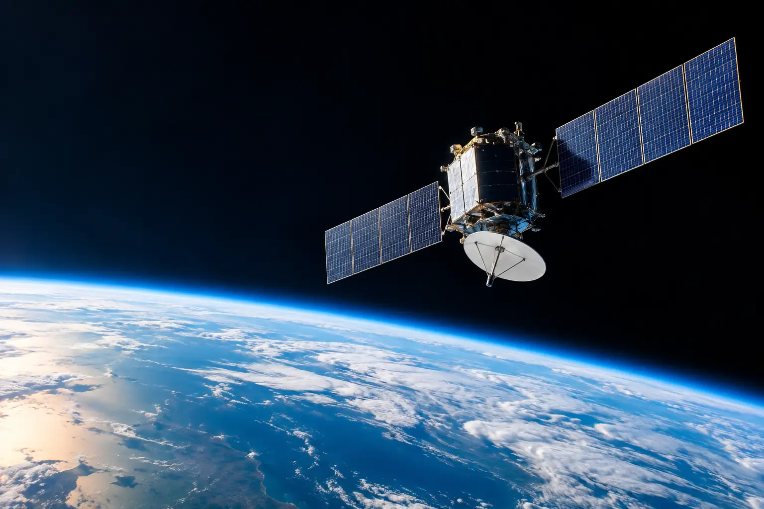
A satellite tracker may show one spacecraft racing across your sky in minutes while another appears fixed over the equator night after night. So, how high do satellites orbit? The short answer is from roughly 160 km above Earth to more than 100,000 km at their farthest point in specialized elliptical orbits. The useful answer is that altitude determines nearly everything: speed, coverage, camera detail, radio delay, lifetime, and whether you can spot it from your backyard.
| Orbit region | Typical altitude above Earth | Typical orbital period | Examples |
|---|---|---|---|
| Low Earth orbit (LEO) | 160-2,000 km | About 88-127 minutes | ISS, Starlink, Earth-imaging satellites |
| Medium Earth orbit (MEO) | 2,000-35,786 km | 2-24 hours | GPS, Galileo, GLONASS |
| Geostationary orbit (GEO) | 35,786 km | 23 hours 56 minutes | Weather, TV, and communications satellites |
| Highly elliptical orbit (HEO) | Varies, often 500-40,000+ km | Often about 12 hours | High-latitude communications and science missions |
Why satellites do not all orbit at one height
There is no single “satellite altitude.” Mission planners select an orbit that balances competing demands. Flying lower gives a spacecraft a closer view of Earth and a stronger signal to ground stations. It also means the satellite must move much faster, crosses the sky quickly, and encounters more of the thin upper atmosphere that gradually slows it down.
Flying higher expands the area a satellite can see at once. A weather satellite at 35,786 km can watch nearly an entire hemisphere, which is why geostationary spacecraft are so valuable for continuous storm monitoring. The trade-off is distance. Signals take longer to travel, cameras need different optics, and launching a satellite to a higher-energy orbit requires more propulsion.
Gravity sets the pace. Near Earth, a satellite must travel at roughly 7.8 km/s, or about 28,000 km/h, to keep falling around the planet instead of falling into it. At geostationary altitude, its speed is about 3.07 km/s, or 11,000 km/h. It is still moving at an extraordinary rate, but Earth rotates beneath it at exactly the same angular rate.
Low Earth orbit: the fast-moving satellites you can track
LEO begins where a practical orbit can be sustained, generally around 160 km, though satellites rarely operate that low for long. Atmospheric drag is intense at the bottom of this range. A spacecraft at 200 km can lose altitude rapidly without regular engine burns. Even at 400 km, the atmosphere is thin but not absent.
The International Space Station usually operates around 370 to 420 km above Earth. Its altitude changes over time because drag pulls it down and periodic reboosts lift it back up. At roughly 400 km, the ISS circles Earth about every 90 minutes. That is why a visible pass typically lasts only 2 to 6 minutes from one location, and why the station can make several passes in a single night.
Most Starlink satellites operate in LEO, commonly near 540 to 570 km depending on the orbital shell. At those heights, they complete an orbit in roughly 95 to 96 minutes. Shortly after launch, satellites can be lower and grouped tightly enough to create the famous “train” effect. Once they spread into operational positions, individual passes are more typical.
Earth-observation missions also favor LEO. A satellite at 500 km is close enough to collect high-resolution imagery and measure land, oceans, ice, fires, and clouds in detail. But it cannot stare at one place continuously. It races over a narrow ground track, then waits for Earth’s rotation to bring its next pass into position.
Why LEO objects are best for skywatching
For observers, proximity wins. LEO satellites can become bright because they are relatively close and can reflect sunlight toward you. The best viewing window is often within about 1 to 2 hours after sunset or before sunrise, when your ground location is dark but the satellite remains sunlit above Earth’s shadow.
A live pass forecast needs more than altitude. Your location, the satellite’s orbital inclination, its current position, the Sun’s angle, cloud cover, and the minimum elevation above your horizon all matter. A pass reaching 70 degrees above the horizon is dramatically easier to see than one barely clearing 15 degrees, even if both spacecraft orbit at the same altitude.
Medium Earth orbit: navigation’s working zone
MEO fills the huge region between LEO and geostationary orbit. The most familiar residents are navigation satellites. GPS satellites orbit at approximately 20,200 km and take about 11 hours 58 minutes to complete one circuit. Their arrangement ensures that, under normal conditions, a receiver can detect multiple satellites from almost anywhere on Earth.
This altitude is a strategic compromise. GPS satellites are high enough that each one covers a vast part of the globe, reducing the total number needed for worldwide service. They are low enough to avoid the much larger signal delay associated with GEO. GPS signals still travel about 20,000 km from satellite to receiver, which is why ultra-precise timing is central to location accuracy.
MEO satellites are usually not casual naked-eye targets. They are much farther away than the ISS or a Starlink satellite, and many are too faint to stand out from urban skies.
Geostationary orbit: 35,786 km and apparently motionless
Geostationary orbit is one of spaceflight’s most useful addresses. It sits exactly 35,786 km above Earth’s equator, or 42,164 km from Earth’s center. A satellite there takes one sidereal day – 23 hours, 56 minutes, and 4 seconds – to orbit Earth. That match makes it appear stationary to observers on the ground.
The word “geostationary” has strict requirements. The orbit must be circular, directly above the equator, and move in the same direction Earth rotates. A satellite with the same 24-hour period but a tilted or elliptical path is geosynchronous, yet it will trace a figure-eight pattern in the sky rather than holding one fixed point.
GEO is ideal for broadcast television, long-range communications, and full-disk weather imagery. From that altitude, one satellite can see about one-third of Earth’s surface. It cannot see the polar regions well, however, because they lie near or beyond its horizon. The round-trip signal delay for a GEO communication link can approach half a second once travel through space and ground networks are included, a noticeable limitation for live two-way voice or gaming.
Highly elliptical orbits: when distance changes on purpose
Not every satellite travels in a circle. In a highly elliptical orbit, altitude changes substantially between perigee, the closest point to Earth, and apogee, the farthest. Some communications satellites use approximately 12-hour elliptical paths with apogees near 40,000 km to spend long periods high over northern latitudes.
This solves a GEO problem. A geostationary satellite appears low on the horizon from Alaska and other far-north locations, which can weaken coverage. An elliptical satellite slows down near apogee, lingering over the region planners want to serve. It then speeds through the lower part of its orbit, where it contributes less useful coverage.
Altitude also decides how long a satellite survives
Orbital altitude is not just a route choice. It is a lifetime choice. Below about 500 km, atmospheric drag can naturally bring defunct satellites down on time scales ranging from years to decades, depending on solar activity, spacecraft shape, and mass. Higher LEO orbits can persist much longer without a deliberate disposal maneuver.
Above LEO, the disposal challenge changes. Objects near GEO are generally moved at end of life into a “graveyard orbit,” typically a few hundred kilometers above the geostationary belt, rather than being left in the crowded operational zone. The goal is to protect the orbital paths that weather and communications systems rely on every day.
The next time a tracker shows an altitude, read it as a mission clue. Around 400 km, expect a quick, visible pass. Near 20,200 km, think navigation timing. At 35,786 km, you are looking at a spacecraft holding watch over the same slice of Earth – a distant but constant part of the planet’s live space infrastructure.