
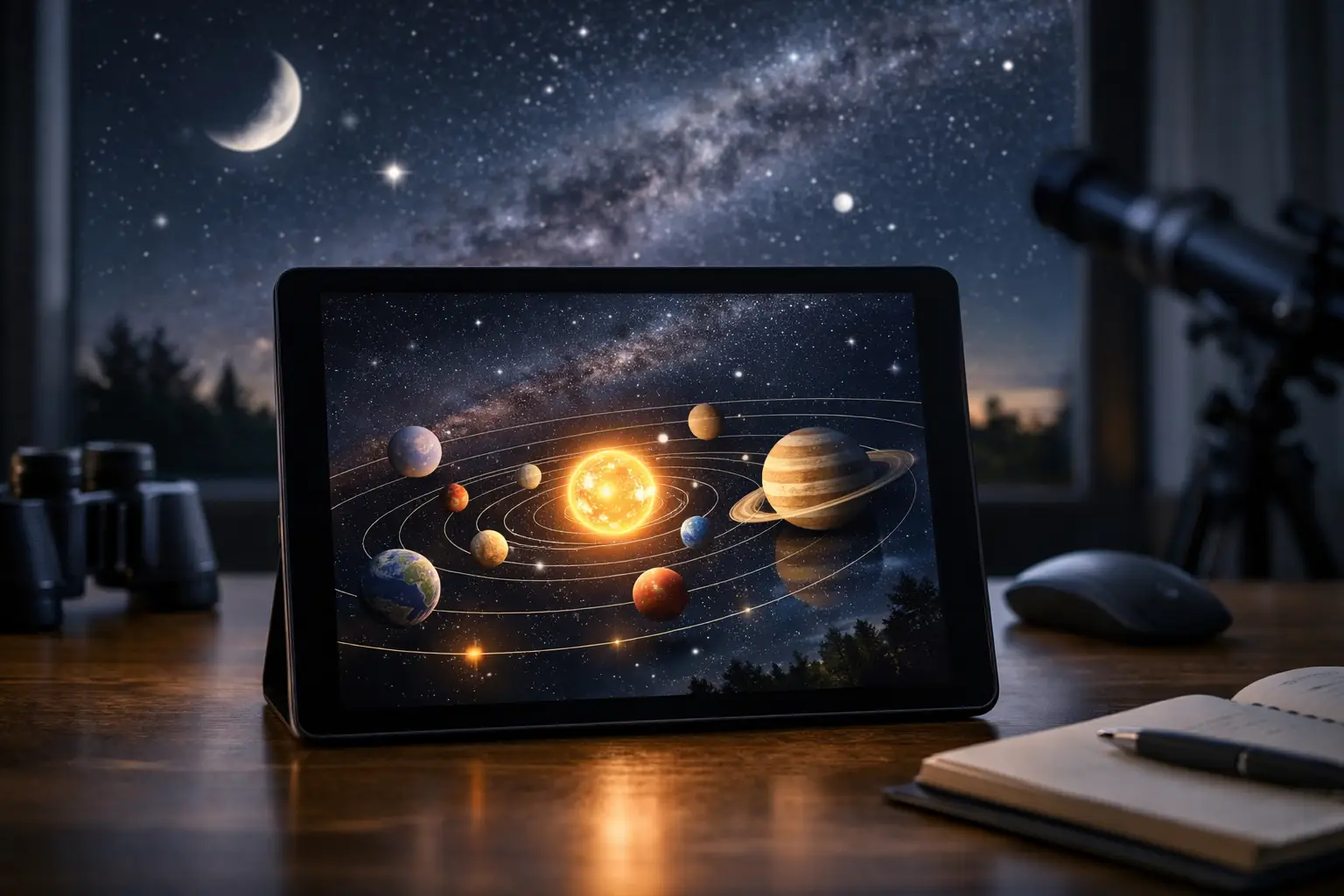
A planet can be visible above your horizon yet impossible to spot because it is only 12 degrees from the Sun. That is the difference between reading a static diagram and using an interactive solar system map built for real observing. A good map puts orbital motion, Earth’s changing viewpoint, distance, and time controls on one screen – then turns them into a plan for the next clear night.
| Planet | Average distance from Sun (million km) | Orbital period (Earth days) | Average orbital speed (km/s) |
|---|---|---|---|
| Mercury | 57.9 | 88.0 | 47.4 |
| Venus | 108.2 | 224.7 | 35.0 |
| Earth | 149.6 | 365.3 | 29.8 |
| Mars | 227.9 | 687.0 | 24.1 |
| Jupiter | 778.6 | 4,332.6 | 13.1 |
| Saturn | 1,433.5 | 10,759.2 | 9.7 |
| Uranus | 2,872.5 | 30,688.5 | 6.8 |
| Neptune | 4,495.1 | 60,182 | 5.4 |
The figures above are average values, not the changing Earth-to-planet distances shown by a live map. Planetary orbits are slightly elliptical, and Earth is moving too. That is why Mars can range from roughly 54.6 million km to more than 401 million km from Earth, while Jupiter can be about 588 million km away at its closest and more than 968 million km away at its most distant.
What an interactive solar system map actually shows
The most useful maps offer two complementary views. The heliocentric view looks down on the solar system from above the Sun. It answers the big-picture question: where are the planets in their orbits, and where will they be after you advance the clock by a week, month, or year?
The geocentric view is the observer’s view from Earth. It is the one to use when you want to know whether a planet appears near the eastern horizon before sunrise, reaches its highest point around midnight, or disappears into evening twilight. Switching between these views is not a cosmetic feature. It explains why a planet’s position on a solar-system diagram does not automatically tell you where to look outside.
A capable map should also display distance, constellation, angular separation from the Sun, and rise-transit-set times for a selected location. The Sun’s light takes about 8 minutes 20 seconds to reach Earth. At typical Mars distances, radio signals and sunlight can take roughly 3 to 22 minutes one way. A distance readout makes those numbers feel less abstract.
How to use an interactive solar system map tonight
Start by setting your observing location as precisely as possible. A city-level setting is usually enough for casual planning, but a precise location matters near a low horizon, during a lunar occultation, or when a planet rises close to a building line. Time zone settings matter just as much. Many astronomical data feeds use UTC, while your observing plan needs local time.
First, check the Sun angle
A bright planet near the Sun is not a target, even if the map marks it as above the horizon. Use twilight as your first filter. Civil twilight ends when the Sun is 6 degrees below the horizon, nautical twilight at 12 degrees below, and astronomical twilight at 18 degrees below.
Mercury and Venus are special cases. They are often best during bright twilight because they never stray far from the Sun in Earth’s sky. For a faint target such as Uranus or Neptune, wait until at least nautical twilight, and preferably astronomical darkness, unless you are using a telescope with a well-aligned mount and detailed finder chart.
Then use altitude, not just direction
Altitude is the angle above the horizon. A planet at 10 degrees altitude is fighting thicker atmosphere, haze, trees, rooftops, and poor seeing. For sharp telescopic views, aim for at least 25 degrees altitude. At 45 degrees or higher, you are usually in much better territory.
The map’s transit time is often your launch window. Transit is when an object crosses your local north-south meridian and reaches its highest altitude for that night. If Jupiter transits at 11:40 p.m. local time, setting up between 10:45 and 11:15 p.m. gives your telescope time to cool and your eyes time to adjust before the best view.
Advance the clock with a purpose
Use the date slider to move forward in one-day steps when planning a conjunction, then shift to one-hour steps for the actual observing night. Planetary conjunctions are measured as angular separation in degrees, not physical closeness. Your clenched fist at arm’s length spans about 10 degrees, while the width of your little finger is roughly 1 degree.
A map can reveal whether two planets pass within 2 degrees, but it should also tell you their altitude at that moment. A conjunction only 8 degrees above the horizon may look dramatic in a photograph with a clear western view, yet be hidden entirely from a backyard surrounded by trees.
Read the map without being fooled by its scale
Every solar system map makes a trade-off. If it shows the planets as realistic sizes, their orbital distances cannot be realistic too. If it shows true relative distances, Earth and the inner planets would be nearly invisible pixels. Treat planet icons as markers, not scale models.
Orbit shapes can mislead as well. Most maps exaggerate orbital tilt or eccentricity to make the geometry readable. Earth’s orbital eccentricity is only about 0.0167, so its path is close to circular. Pluto’s more elongated orbit is visually dramatic, but it should not distract from the practical question: what is above your horizon, at what time, and under what sky conditions?
Retrograde motion is another feature worth tracking. It does not mean a planet reverses its path through space. It is an apparent westward drift against background stars caused by Earth overtaking an outer planet or being overtaken by an inner one. Run an interactive map forward a few weeks and the geometry becomes obvious in seconds.
Turn map data into a real observing plan
Use the solar system view to identify a promising date, then verify four conditions in your sky tool: local time, altitude, Sun separation, and cloud forecast. For naked-eye planets, a clear view to the correct horizon is often more valuable than a dark-sky site. For Uranus, Neptune, faint moons, and subtle planetary detail, darker skies and steady atmospheric conditions matter far more.
At SpaceInformer, the best workflow is simple: track the moving geometry first, then switch to location-based sky data before heading outside. Keep one eye on the numbers and the other on the horizon. The solar system is always in motion, and the next excellent view may be only one clear night away.